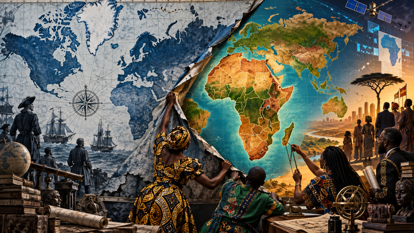
Mercator began as a tool for sailors, but publishers, schools and institutions carried its distorted view of continental scale far beyond the purpose that once justified it. Colonial cartography turned geographical knowledge into an instrument of territorial command, while digital platforms later gave the old projection a new life through software standards and technological convenience. African political organization has now dragged that inherited “common sense” back into history, winning a 164–1–6 UN vote while Washington stood alone against a resolution it openly linked to reparations and cognitive justice. Correcting the map won’t decolonize the material world beneath it, but the fight reveals a deeper question of sovereignty: who gets to establish the standards through which the world is seen, taught and ultimately drawn?
By Prince Kapone | Weaponized Information | September 9, 2026
The Map Is Wrong. The Easy Story Is Too.
On September 8, 2026, Concordia University geographer Sébastien Caquard published “Correcting the map” in The Conversation, reporting on a remarkable vote four days earlier: the UN General Assembly had backed an African-led resolution calling for wider use of equal-area world maps. The United States stood alone against it. Caquard’s central point is basically right. Mercator grossly exaggerates land nearer the poles, making Greenland look almost comparable to Africa, and a projection designed for navigation became an ordinary political picture of the planet. Maps aren’t innocent sheets of paper. Repeated through schools, institutions and media, they can normalize one particular way of seeing the world.
The problem is that the article makes the history cleaner than it was. Its clock starts with Gerardus Mercator in 1569, moves through Arno Peters in 1973, arrives at Equal Earth, and lands triumphantly at the UN. Mercator gets a biography. Peters gets a controversy. European cartographers supply most of the historical motion. The African institutions that turned an old technical dispute into a diplomatic victory receive far less development. Togo appears as sponsor, while the African Union and the political machinery behind the resolution remain mostly backstage. An essay about restoring Africa to the map somehow leaves Africans doing less of the historical driving than the European mapmakers who dominate its genealogy.
Caquard also moves too easily from mathematical distortion to colonial ideology. To his credit, he acknowledges that Mercator solved a real navigational problem: straight rhumb lines made constant compass bearings useful to sailors. That concession cracks open the harder history. If the projection was built for navigation, its later political meaning can’t simply be smuggled backward into Mercator’s intentions. The real question is how a specialized maritime tool became normal for classrooms, atlases and political maps long after its distortion of comparative area was understood. The article tells us the map acquired political meaning without showing enough of the institutions that made it common sense.
Its sharpest omission comes at the UN itself. Caquard notes Washington’s lone negative vote but barely opens the box. In the General Assembly debate, the United States explicitly attacked the resolution’s language of reparations and “cognitive justice” as part of a wider ideological project. That isn’t a footnote. It tells us the fight was never only about whether Greenland looked too damn big. The article understands that representation is political. What it doesn’t yet explain is how a technical choice becomes institutional habit, how habit acquires history, and why an African challenge to that habit became important enough for Washington to stand alone against 164 governments.
How a Sailor’s Tool Conquered the Wall
Mercator’s projection didn’t begin as a scheme to make Europe look mighty and Africa look small. Gerardus Mercator published it in 1569 for a concrete maritime problem: on a Mercator chart, a constant compass bearing can be drawn as a straight line. The NOAA Office of Coast Survey still uses Mercator for much nautical charting for exactly that reason. The cost is built into the mathematics. Mercator preserves local angles rather than area, so scale rises with latitude and northern landmasses swell toward the poles. Africa, lying largely around the equator, isn’t principally squeezed; places farther north are grotesquely enlarged around it.
The missing history begins when that sailor’s tool leaves the ship. Cartographic historian Mark Monmonier traces Mercator’s later spread into wall maps and classrooms, where nineteenth-century publishers found its rectangular shape wonderfully convenient: rectangular maps fit rectangular pages and rectangular walls. Schoolbooks and atlases helped make the arrangement familiar. By then the projection was doing work it hadn’t been designed to do. A navigator needed reliable bearings. A child comparing Africa with Greenland needed something else. Mercator survived the distinction because institutions kept printing it.
That history also has to be separated from the larger machinery of colonial cartography. European conquest of Africa didn’t depend on Mercator’s projection, but maps themselves became practical instruments of expansion. Thomas Bassett’s study of nineteenth-century West Africa shows cartographers recording villages, roads and resources useful to troop movements, settlement and commerce, while boundaries, colors and supposedly empty spaces helped project and legitimize French and British territorial claims. Colonial mapping therefore reached much deeper than distorted continental proportions: it converted geographical knowledge into something armies, merchants and colonial administrations could use.
Cartographers never lacked alternatives. Equal-area projections preserve proportional land area by accepting distortion somewhere else, because no flat map can preserve every property of a globe at once. In 2018, Bojan Šavrič, Tom Patterson and Bernhard Jenny introduced Equal Earth, designed to preserve relative area while avoiding some of the visual problems associated with Gall-Peters. That makes it useful when the point of the map is comparing continental size. It doesn’t make it a magic sheet of paper on which nothing bends.
The easy propaganda story takes another hit when researchers test what people actually remember. A 2020 worldwide study, analyzing 970,820 area estimates from 97,082 participants, found that people’s mental estimates were closer to real proportions than to Mercator’s proportions. Earlier experiments likewise found little support for a simple “Mercator effect” in which people copy the projection’s enlarged northern landmasses directly into their mental map. Yet projection isn’t politically meaningless. A 2024 experiment found Mercator increased the perceived importance of Russia compared with Gall-Peters when the map was paired with a national-security frame. The image mattered in combination with the political story wrapped around it.
Then an old projection acquired a new machine. Google’s mapping documentation explains that its system converts latitude and longitude into Mercator-based world coordinates and divides the projected world into square tiles that can be loaded efficiently as users pan and zoom. Mercator’s digital afterlife therefore isn’t simply the survival of an old classroom habit. Modern software gave it another practical use, while reproducing the same spectacular area inflation when the whole world is shown at once.
The African initiative developed on a different track. The African Union’s 2026 decision connected Correct the Map to reparations, Pan-African political work and Africa’s struggle to control its own representation. The Assembly adopted Equal Earth for its purposes, urged member states to revise curricula and tasked the AU with monitoring implementation. The document also makes stronger claims about economic perception and development that the cognitive studies above don’t independently prove. Those remain the AU’s political assessment, not established psychological causation. Togo then carried the initiative to the United Nations on behalf of the African Group.
On September 4, that organizing produced a 164–1–6 General Assembly vote. Washington stood alone in opposition, and its representative said why: the United States treated the map initiative as part of a wider ideological project involving reparations and “cognitive justice.” The fight had traveled a long way from compass bearings. France moved immediately as well, announcing that it would abandon Mercator as its diplomatic default while retaining projections suited to particular tasks. A navigational tool had become a classroom convention, a colonial-era world image, a digital standard and finally the object of an organized African challenge. The formula hadn’t changed. Everything around it had.
When Convenience Inherits an Empire
The easy story makes Mercator the villain and the new map the cure. History is harsher than that. The projection began as a useful tool, then institutions carried it into places where its usefulness no longer explained its authority. That distinction matters because power doesn’t survive only by repeating its original intentions. It survives by building old choices into ordinary routines until the choice itself disappears from view. The sailor’s chart moved onto the classroom wall, through the atlas and eventually onto the screen. Technique became custom. Custom hardened into standard. Standard acquired the innocence of common sense.
A mathematical formula doesn’t decide where it will be used. Institutions do. Publishers decide what gets printed. Schools decide what children repeatedly see. Governments and media reproduce familiar representations. Software systems make some technical choices easier to keep than to replace. The principal contradiction lies there: African institutions are asserting authority over how Africa is represented against a cartographic order whose standards were largely built and circulated without African command over the institutions making them universal.
Colonialism gives that order its historical weight, but the causal chain has to stay straight. Europe didn’t conquer Africa because Greenland looked enormous. Armies moved. Merchants traded. Colonial administrations claimed and organized territory. Maps entered that machinery because conquest needs usable knowledge of roads, settlements, resources and boundaries. Representation served material command. A gun may take the territory; a map helps the new ruler inventory what the gun has taken. That’s why colonial cartography mattered far beyond the particular distortions of Mercator.
The cleaner decolonial story can blur that distinction. If colonial power becomes mainly a distorted picture, replacing the picture starts to resemble replacing the relation. But a worker remains exploited at the correct scale. A more faithful map doesn’t by itself alter ownership, wages, debt or command over productive life. Representation matters because institutions of knowledge help organize how the world is understood, classified and administered. It is one terrain of struggle among others, not a substitute for the material relations underneath it.
The digital return of Mercator sharpens the problem. The old projection found a new home because modern mapping systems could make practical use of its geometry. A programmer can reproduce the same visual hierarchy for a perfectly rational engineering reason. No colonial oath is required. Historical relations become hardest to see once they survive as convenience. The past no longer has to announce itself as politics when its accumulated choices have been built into the machinery.
That still doesn’t make technical usefulness a universal argument. A tool can perform one task brilliantly and become absurd when institutions treat that strength as a license to use it everywhere. Mercator works where its particular properties are useful. The political problem begins when accumulated habit settles other questions by default. Once that happens, convenience stops being merely technical and starts carrying institutional history on its back. Apparently even a map projection can acquire tenure.
African resistance breaks that spell by making the standard answer for itself. The significance of the present struggle lies less in replacing one rectangle with another than in the organized power to say that representation itself is no longer somebody else’s uncontested jurisdiction. African states and institutions are acting as subjects in the production of global knowledge rather than remaining objects inside a frame drawn elsewhere. That is a real exercise of sovereignty. It also has limits. African governments remain class societies, and diplomatic power over representation doesn’t erase exploitation or turn national sovereignty into proletarian rule. Multipolar authority over representation is not socialism. But neither is it nothing.
Washington’s lone opposition reveals where the struggle widens beyond cartography. The United States didn’t defend Mercator on navigational grounds. Its objection attached the resolution to reparations and cognitive justice—to the argument that colonial history still leaves claims in the present. The conflict therefore reaches into historical memory itself. Washington seeks the privilege of declaring which injuries belong safely to the past; African states are insisting that inherited institutions can still be judged by the history that produced them. That is why an argument over projection suddenly touches the politics of repair.
The article can see that maps are political, but it leaves too much of that politics trapped inside the image. The deeper relation sits in the institutions that turn one representation into habit, habit into standard, and standard into something that appears natural. Once that process is visible, Mercator’s political afterlife no longer depends on proving that Mercator himself intended it. The stronger explanation is that institutions repeatedly reproduced a contingent choice until African organization forced that choice back into history.
That victory remains incomplete. A new standard can change what schools teach, what governments display and what institutions recognize. It can’t by itself determine who owns the machinery that produces knowledge or commands the material world beneath the map. The contradiction therefore opens outward. It is one thing to redraw Africa at its proper scale. It is another to build the power to decide how the world itself will be drawn.
Redraw the Standard, Build the Capacity
The UN vote created legitimacy. Now that legitimacy has to become practice. The leverage points are the institutions that reproduce world maps every day: schools, textbook systems, government offices, newsrooms and digital platforms. The Correct the Map campaign, organized by Speak Up Africa and Africa No Filter, already gives institutions a vehicle for acting on the resolution. Its organizational charter asks signatories to use Equal Earth in digital representations and physical publications where Africa appears on a world map. Each adoption turns a diplomatic victory into an institutional change.
Education is the clearest pressure point because repetition becomes normality there. Speak Up Africa has called for governments to revise curricula, textbooks and teaching materials around equitable projections. That demand belongs where purchasing and curriculum decisions are actually made. Ministries, school systems, universities and textbook publishers can use equal-area maps when teaching continental scale while also teaching why different projections serve different purposes. The goal is simple: make projection choice conscious instead of inherited.
The African Union has a larger lever. Its 2026 Assembly decision calls on member states to revise curricula and advance the initiative institutionally. Governments can turn that continental mandate into public-sector map standards, textbook rules and investment in African geospatial expertise. That last piece matters most over the long haul. Africa shouldn’t have to win the argument over representation and then import all the machinery, software and technical knowledge required to implement the victory.
France has already shown how a government can move without pretending Mercator suddenly became useless. Its foreign ministry abandoned Mercator as its diplomatic default while retaining projections suited to particular tasks. That principle travels easily: Mercator where its properties are needed; equal-area or other appropriate projections when institutions are communicating comparative continental size. Technical purpose should determine the tool, not habit.
Digital platforms are the harder front because software architecture has its own inertia. Correct the Map already names them as an implementation target, so the campaign can press companies where the distortion matters most: world-scale and low-zoom representation rather than turn-by-turn navigation. Platforms can preserve technically useful Mercator systems underneath while foregrounding globes or equal-area views when users are actually comparing continents. The orientation is concrete: change the standards where institutions reproduce them, and build African capacity to produce and govern the knowledge replacing them. The old map became normal because schools taught it, governments used it, publishers printed it and machines kept serving it. Correcting the map becomes durable when organized power changes those institutions—and when Africans increasingly possess the machinery to draw the world for themselves.


Leave a Reply