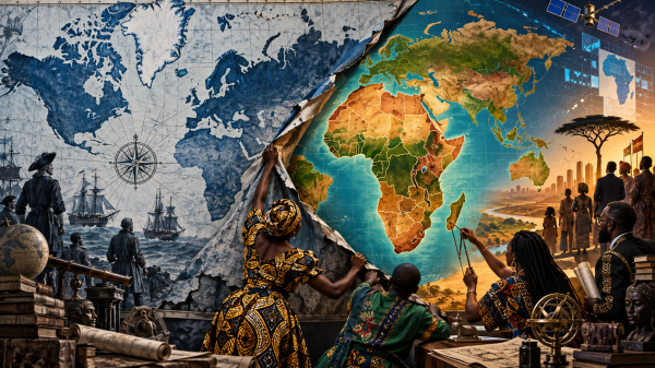
Mercator’s projection began as a useful tool for sailors, not a colonial conspiracy. But publishers, schools, governments, and later digital platforms carried its distorted view of continental scale far beyond navigation, turning a technical choice into inherited common sense. This essay traces how colonial cartography made geographic knowledge part of territorial command, how Web Mercator gave the old projection a new technological life, and how African political organization transformed the issue into a struggle over narrative sovereignty. The UN vote to “correct the map” matters—but a fairer image of Africa is only one front in the larger fight over who gets to define, produce, and control global knowledge.
Convenience Inherited an Empire: Africa Puts the World Map on Trial